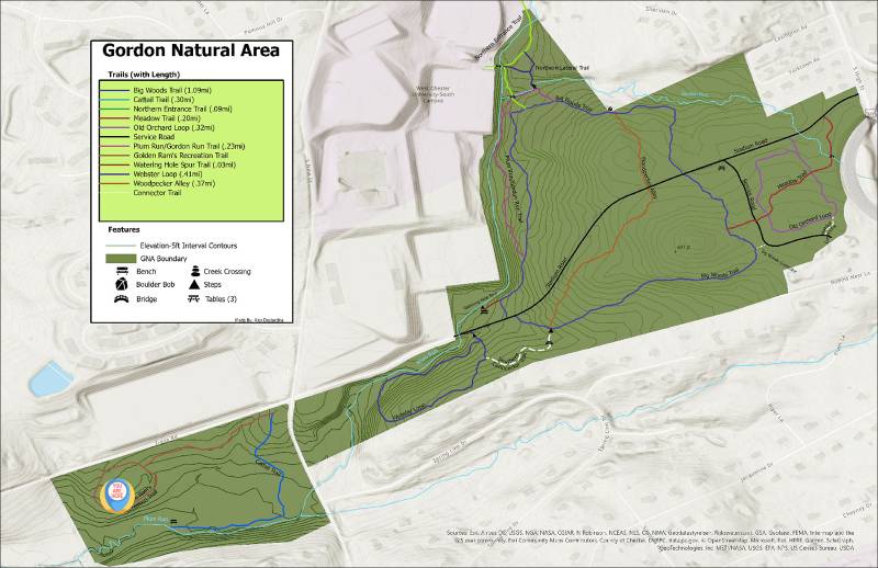
Your Location
This Trail
Welcome to the western end of the Cattail Trail (length ~ 0.5 miles). On this trail, you'll initially walk downhill, passing through a patch of young secondary forest and will go through the western end of a large wetland complex dominated by a Cattail Marsh. You'll then parallel a stream (Plum Run), cross over a footbridge, and continue alongside Plum Run before turning north and going through a seasonally-wet Red Maple stand. You'll then travel upslope through secondary forest before arriving back at the Golden Ram's trail near its intersection with S. New Street.
Both Plum Run and the Cattail wetland support a wide range of bird species and the wetland also provides resources for a rich insect fauna. Plum Run is also noteworthy for supporting some interesting mammals (Northern River Otters and American Minks).
At this time, we haven't added this section of the Cattail Trail to our trail map, but you should have no problem following the route.
Questions? Or, Need to Report an Issue?
Have a question to ask the GNA staff or something to report? Click here.

