
Innovative Use of GIS Nets International Award for Geography and Planning
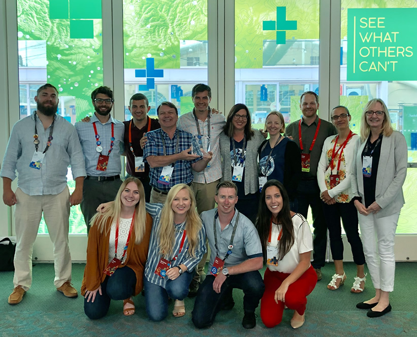 West Chester University’s Department of Geography and Planning was honored with a Special Achievement in GIS (SAG) Award during the annual Esri
User Conference, held in San Diego, CA, this summer. More than 19,000 professionals,
educators, and students attended the conference.
West Chester University’s Department of Geography and Planning was honored with a Special Achievement in GIS (SAG) Award during the annual Esri
User Conference, held in San Diego, CA, this summer. More than 19,000 professionals,
educators, and students attended the conference.
WCU was one of only three institutions of higher education that received an award out of 178 institutions acknowledged this year in fields spanning local government, agriculture, environmental analysis, emergency response, retail, and water management. Esri’s annual SAG Awards recognize select organizations from around the world that are using geospatial technology to solve pressing challenges and those setting new precedents and innovation in the use of GIS.
Calling the award “a fantastic honor,” Gary Coutu, WCU professor of geography and planning, noted that the department received the award for its innovative use of GIS and 3D modeling for facilities mapping and management of campus. A WCU team created a virtual reality model of campus to allow a user to “walk around” campus as a tour and to envision new campus buildings, public space, and review tree growth, over time, across campus. A web-based scene of this application was produced to share these visualizations across the internet. Seven students who worked on specific aspects of the 3D project were Kevin Hazley, Morgan Sapia, Jason Karian, Kyle Erisman, Rich Simpson, Tyler LaMantia, and Eric Quinn.
Graduate assistant Sapia also assisted Coutu this summer with creation of a 3D image and map of the interior of the Business and Public Management Center, where the department and GIS lab are located. Working with Matthew Waychoff, building information architect at Philadelphia-based mobile capture and computational modeling company StartingPoints.xyz, they used a handheld LIDAR camera to capture imagery that is being integrated into their current 3D model of the building. It will be online later this semester.
Individual buildings are also being modeled for office and classroom management. This includes a QR code-enhanced building management application that allows facilities personnel to inventory a room and create a work order to request maintenance. The next application of the indoor models will be for emergency response and delivery management.
“West Chester University has a special relationship with Esri,” notes Coutu. “We use the entire suite of their software and it is part of our education, research, and management activities. Our in-depth knowledge of GIS software and geospatial software has given us the opportunity to work closely with Esri solutions engineers: We have served as beta-testers for some of their software. Students come to WCU to learn GIS because of our reputation and relationship with Esri. Eight of our alumni currently work at ESRI headquarters in Redlands [CA] and we have about 10 other alumni at ESRI Philadelphia, Washington, D.C., and Denver. It is exciting to be associated with a company that is so innovative and committed to action on local and global issues.”
Esri, the global leader in location intelligence, builds ArcGIS, the leading mapping and spatial analytics software for desktop, software as a service (SaaS), and enterprise applications.
WCU’s project deployed this tech: ArcGIS, ArcGIS Pro, AGOL, CityEngine, Collector, Survey123, Workforce, Business Analyst, Community Analyst, Geoplanner, ArcGIS 360 VR, and ArcGIS Indoors (beta).
Visit the WCU Center for GIS and Spatial Analysis.